

2027 COURSE UPDATES
Click the button below to see the latest information on the course for the 2027 race. It will most likely be the outnback alternate course.
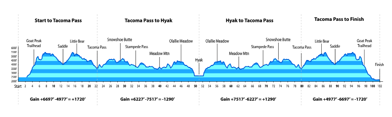
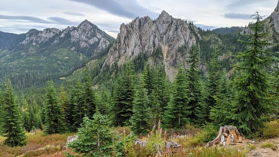
Please be aware that the following Course Information is based on a “typical” year.
This year is not typical. It’s special.
Typical COURSE overview (LIKELY not for 2027)
A captivating clockwise loop that begins and ends at a local fire station in the small town of Easton, Washington.
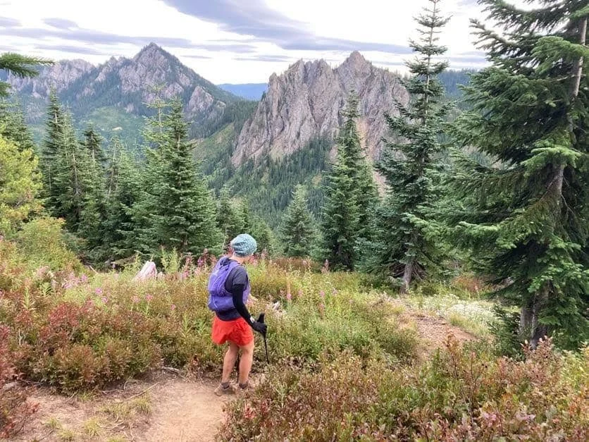
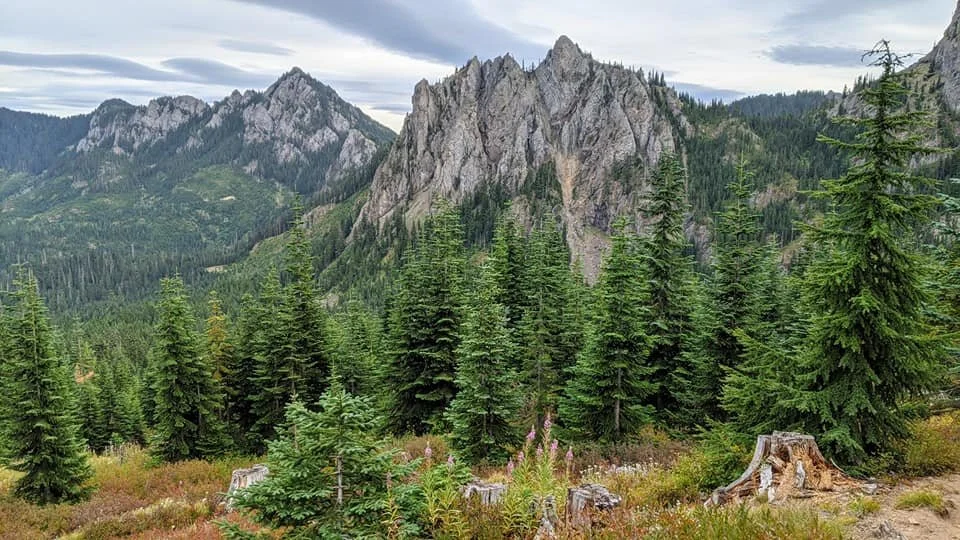
Course highlights include 30 miles on the buttery trails of the Pacific Crest Trail, passage through the 2.5-mile Snoqualmie Pass Tunnel, and unlimited breathtaking views throughout the Wenatchee and Snoqualmie-Mt Baker National Forests
There is no shortage of tall trees and tough trails.
Typical Course stats
| ELEVATION GAIN | 23,000+ ft |
|---|---|
| HIGH POINT | Thorpe Mtn. 5,840 ft |
| LOW POINT | Easton 2,140 ft |
| SURFACE | 70% trail 26% forest road 4% paved road |
| AID STATIONS | 16 full 2 water only |
Typical RUnners Manual
For the most up-to-date course details and race information, please refer to the Runner's Manual.
Typical COURSE MAPs
Please note that the maps listed below may be outdated. For the most up-to-date course details, please refer to the Runner's Manual.